
UK City Network Map
AI Generated Image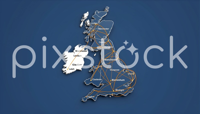
Description
A stylized map of the United Kingdom displays interconnected cities with network lines. White and orange lines connect major urban centers like London, Manchester, and Glasgow against a deep blue background. City names are clearly labeled, emphasizing transportation or communication networks across the region.
What you can use it for
- Websites
- Advertising
- Social media
- Client projects
- No attribution